HISTORICAL MAPS
![]()
HISTORICAL MAPS
![]()
|
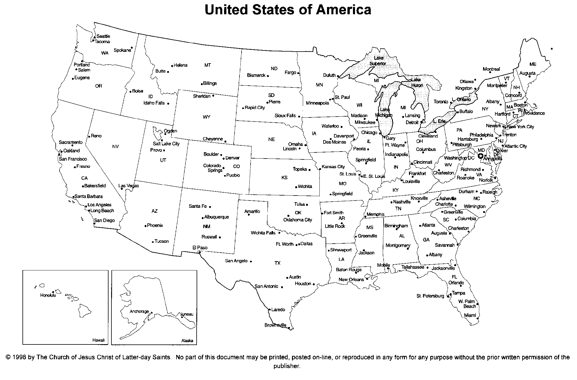
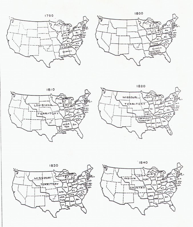
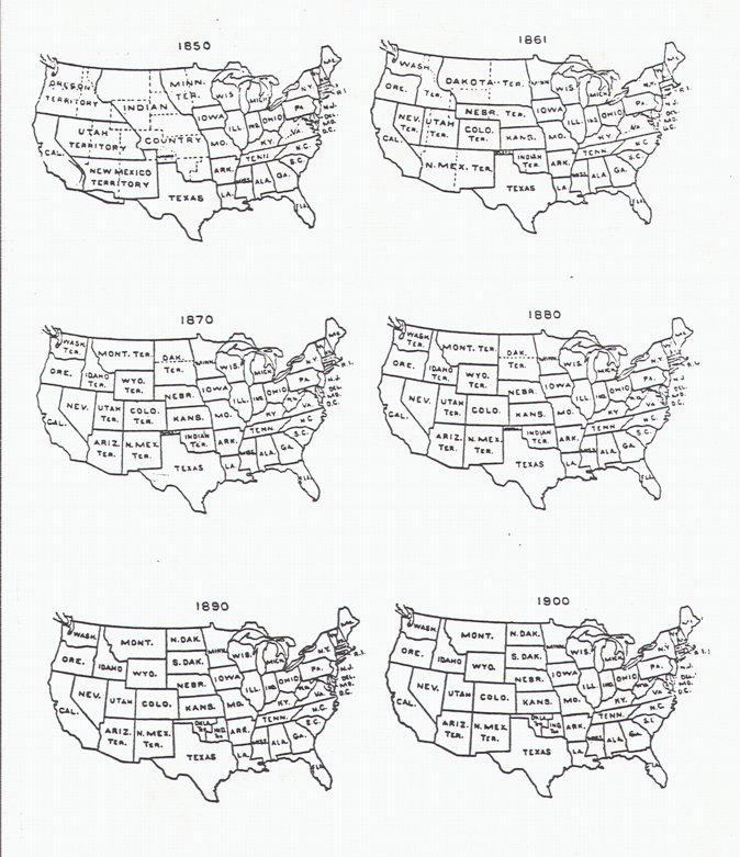
The purpose of these maps is to show the development of
the US from 1742 through 1900. Particularly note the distance from Amherst, VA to Yellowbud, OH. It is presently about 340 miles driving. Think of what it must have taken in 1814 when Robert Shasteen moved from Rockbridge Co., VA to Ross Co., OH with his family. Note that West Virginia was formed from Virginia June 20, 1863. The Civil War ended May 26, 1865. |
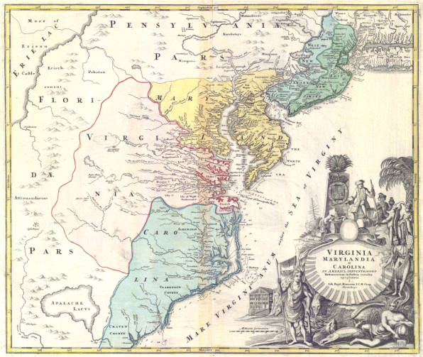 1714 Virginia, Maryland and Carolina 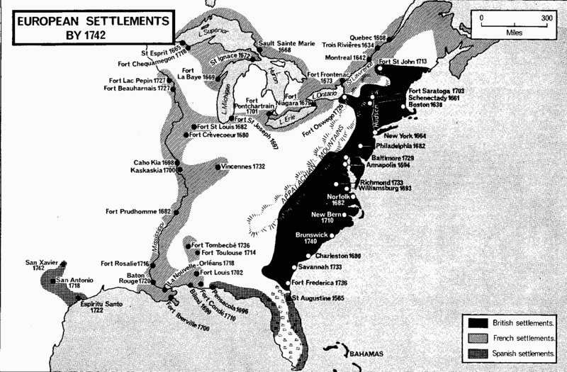 European Settlements by 1742 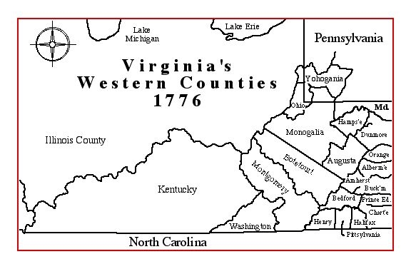 Virginia's Western Counties 1776 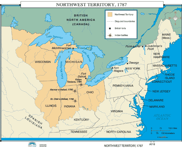 Northwest Territory, 1787 |
  |
 |
 |
![]()
Copyright © 1995-2014, All rights reserved