|
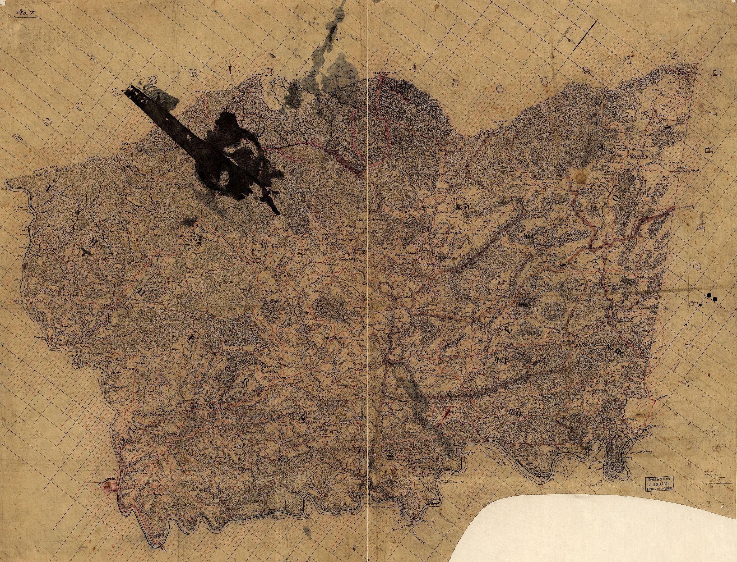
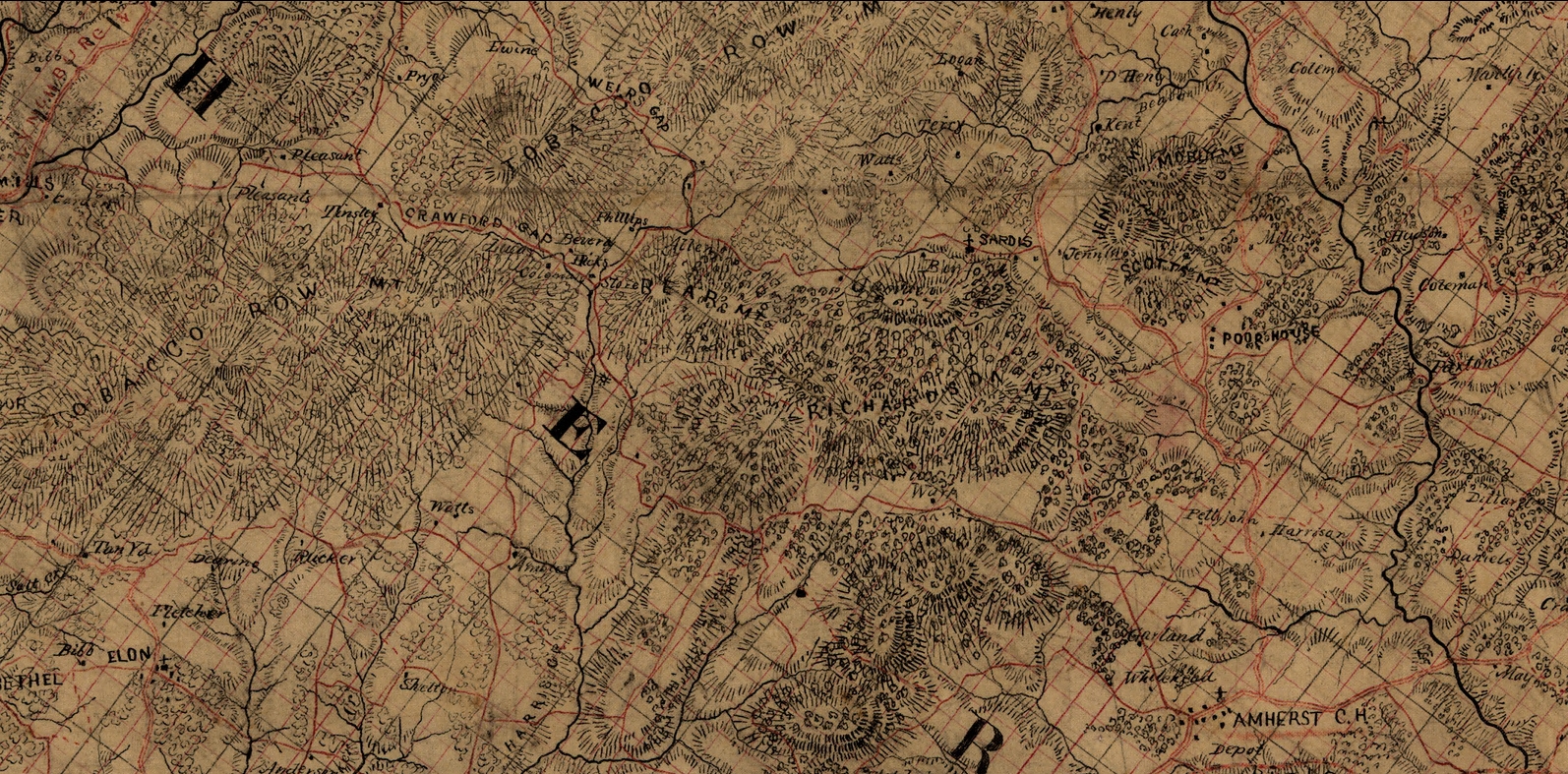
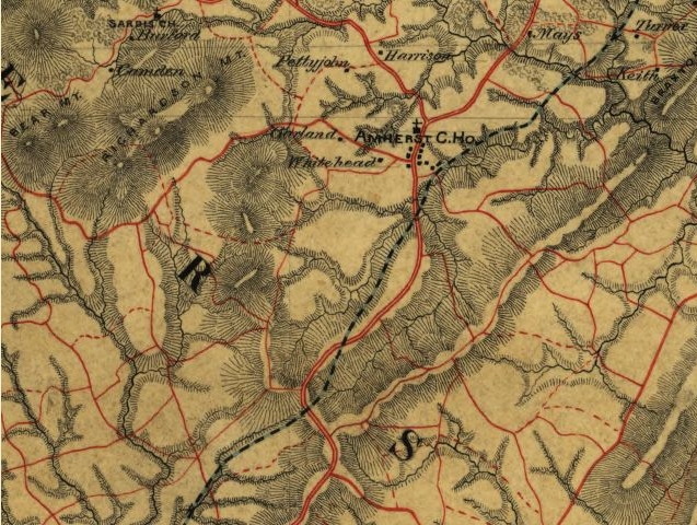
Overview of Amherst County —
Otter Creek on left, Pedlar Mills down and to the right, and Amherst CH toward
the center bottom
Note that all these maps seem to be a bit incorrectly oriented in comparison to
modern day maps, particularly north south relationship of Amherst to Pedlar
Mills
Source: Library of Congress Geography
and Map Division Washington, D.C. 20540-4650 —
http://memory.loc.gov/ — [Map of Nelson and Amherst counties, Va.]
/ Lt. C.S. Dwight (circa
1865)
Library of Congress -
http://memory.loc.gov/ammem/index.html - search map name
These cropped from full image, 25 megs down to 25% at about 2.2 megs.
 |
|
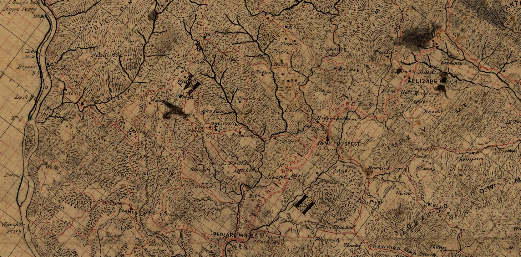
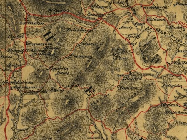
Otter Creek to Pedlar Mills
Close up
|
|
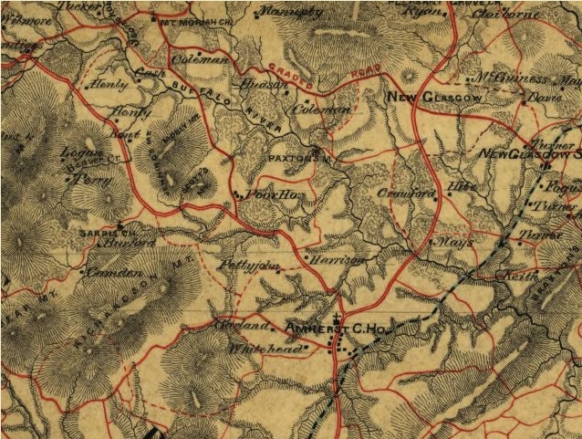
Pedlar Mills to Amherst C. H.
(Courthouse) Close up
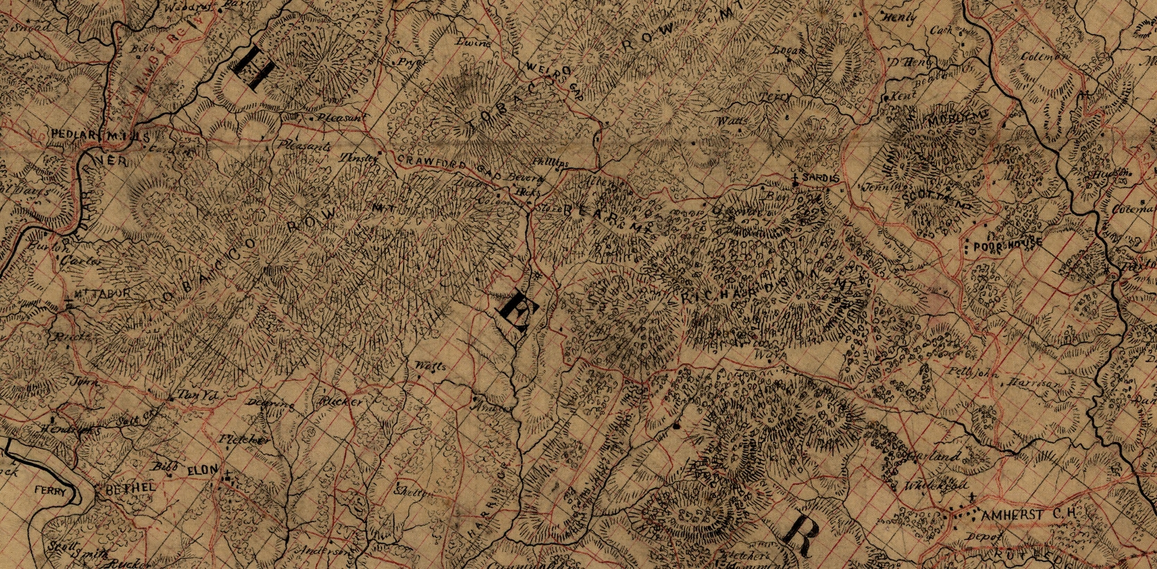
Note the town of Bethel
in lower right corner
|
|
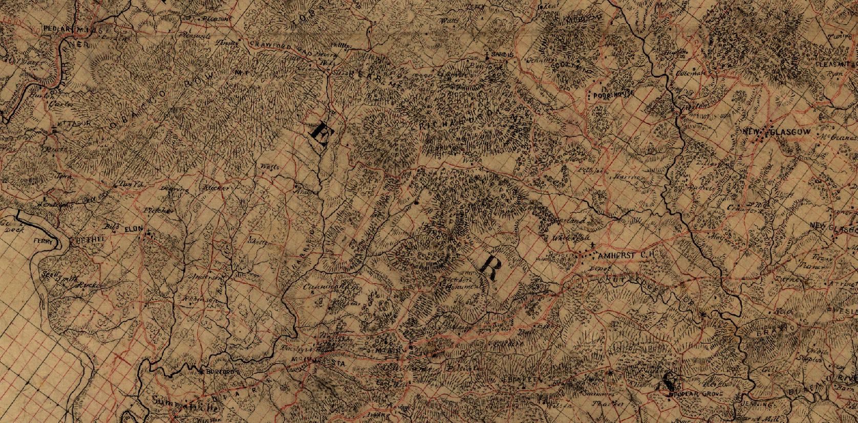
Buffalo River
Close up
|
|
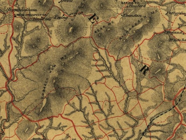
Bear Mountain
Close up
 |
|
Another look at the area,
focusing on north and east side of Tobacco Row Mountains regarding the 1748 (Both
sides Buffalo River near Blue Mountains)
and
1751 (Huff's
Creek East side of Tobacco Row Mountains - this creek drains into the Buffalo
River ) James Shastead deeds
Source: Library of Congress Geography and Map Division Washington, D.C.
20540-4650 — http://memory.loc.gov/
[Map of Nelson Co. and part of the counties of Albemarle, Amherst, Augusta,
Fluvanna and Louisa, Va.].
|
|
|
|
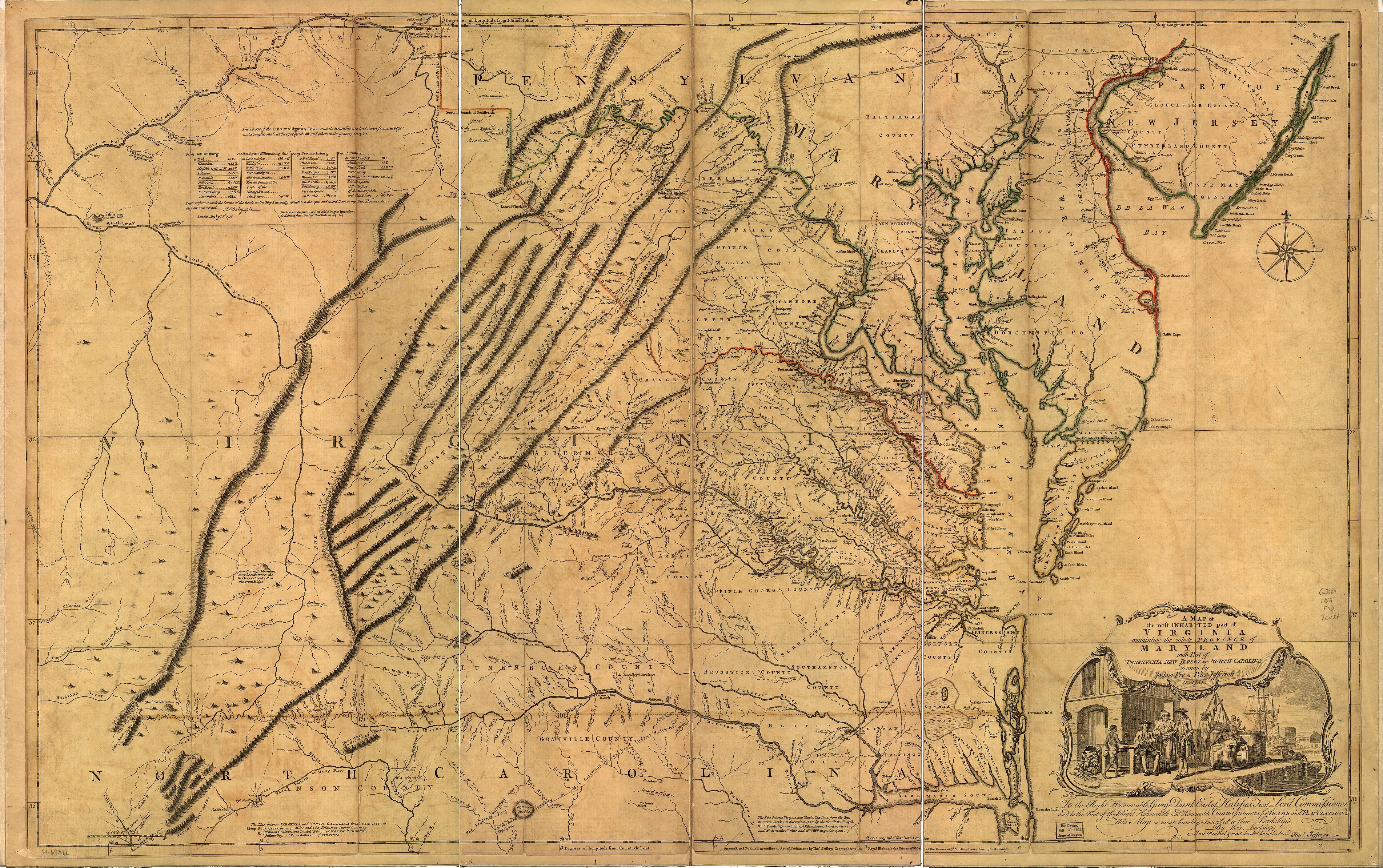
Another interesting map is "A
map of the most inhabited part of Virginia containing the whole province of
Maryland with part of Pensilvania, New Jersey and North Carolina. Drawn by
Joshua Fry & Peter Jefferson in 1751".
Also available at Library of Congress -
http://memory.loc.gov/ammem/index.html - search map name
This map gives a lot of River and Creek names that may have changed, as well as
some old towns that may be no more
This version is 25% of the original size of 29.4 megs and is about 3 megs
 |
|
|